Obstacle-Layer
Obstacle layers are Point Layers used to specify the position, height, width and porosity of obstacles which are then used in Site Calibration (Power Curve Test).
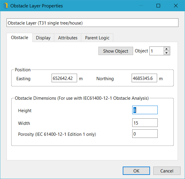
Figure 73: Obstacle Layer Properties
Obstacle layers can be created from regular point layers or digitised in by hand. When converting from a point layer, Openwind looks for attribute field names such as:
SID or LABEL in lower or upper case is interpreted as the obstacle ID. This will stay as an attribute but will automatically be made the label fields will be displayed on each point.
POROSI in lower, upper or mixed case will be interpreted as obstacle porosity.
HEIGHT/ALT/TEILLE/HOHE/HEICHT/VIS in lower, upper mixed case will be interpreted as obstacle height
WIDTH/LARG/BREITE/DIAM/BRE/SIR in lower, upper or mixed case will be interpretation as obstacle width.
As you can see we have attempted to try to catch common letter combinations in a number of languages but feel free to send us your requests and we will add them where they don’t conflict.
Obstacle layers can also be created from Polygon Layers and Raster Layers. Polygon Layers are converted to obstacle layers by adding an obstacle point every 25 meters with each obstacle object having a default width of 50m and porosity of 0.25.
Raster Layers a converted to obstacle layers assuming a fixed width of 50m and taking the height from the raster Z value. The raster layer is sampled every 25m similarly to the polygon layers and regardless of the resolution of the raster layer.